

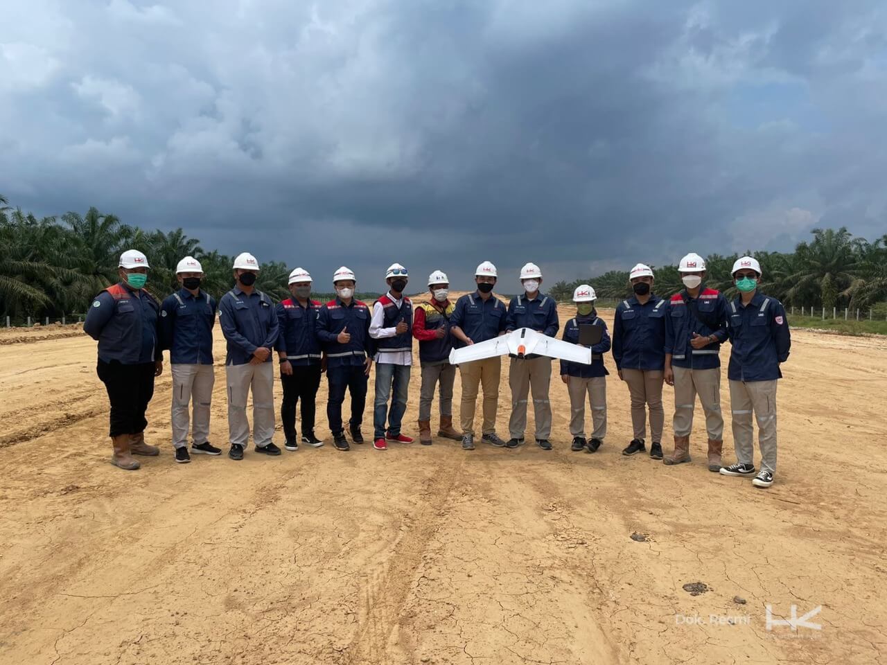
JAKARTA – In line with the company's Long-Term Plan (RJPP), PT Hutama Karya Infrastruktur (HKI), a subsidiary of PT Hutama Karya (Persero), continues to adopt the latest technology in its work, including field operations. HKI is now using the photogrammetry method to assist in field surveys and monitor the physical progress of construction.
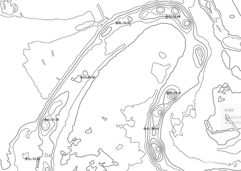
Photogrammetry is a digital survey method that utilizes aerial photos and aerial surveying, referencing ground control points, with drones equipped with special specifications. This method can represent the shape, size, and position of an object in space coordinates, measuring latitude, longitude, and elevation. The results from photogrammetry are 3D point clouds, which are processed into digital elevation models (DEM) and orthophotos, aerial images corrected geometrically. DEM can be used to obtain existing contours after clearing, while orthophotos help visualize areas that are difficult to access using conventional surveys. In short, photogrammetry can depict the topography and existing conditions of an area.
HKI began using photogrammetry in mid-2021. For initial field contour surveys, photogrammetry reduced the time required for manual surveys from 9 hours per 1.5 km to just 1 hour per 1.5 km. Therefore, photogrammetry is highly effective in assisting conventional surveys. In monitoring progress, HKI has relied on photogrammetry in the Bengkulu-Taba Penanjung Toll Road project, which is now completed. Photogrammetry helped create a 3D visual representation of the latest physical conditions of the project.
To optimize the use of photogrammetry, HKI is now focusing on its application in the Binjai-Pangkalan Brandan Toll Road project. The method will be used to calculate the volume of embankment soil (subgrade) to top subgrade, which will be combined with conventional measurements to obtain the planned elevation.
“Currently, HKI is testing the application of photogrammetry in calculating soil embankment volumes for the Binjai-Pangkalan Brandan Toll Road project. However, photogrammetry must still be used alongside manual measurements to ensure accuracy,” said Selo Tjahjono, Director of Operations III.
The photogrammetry method is inseparable from Building Information Modeling (BIM). The results from photogrammetry are processed using specialized software and become data for field information processing in BIM.
HKI began implementing BIM in 2020. In addition to BIM, HKI has also adopted Enterprise Resource Planning (ERP) using the SAP platform. The use of technology is a concrete step for HKI to become a leading integrated construction company in Indonesia.
Currently, HKI is working on several sections of the Trans Sumatra Toll Road (JTTS), including the Indralaya-Prabumulih Toll Road (65 km), Padang-Sicincin Toll Road (37 km), Binjai-Pangkalan Brandan Zone 2-4 (46 km), and Pekanbaru-Bangkinang Toll Road (40 km).
This year, HKI completed the Binjai-Pangkalan Brandan Toll Road (Binjai-Stabat) section (11.3 km) and the Bengkulu-Taba Penanjung Toll Road (17.6 km). Other JTTS segments that HKI has completed include the Palembang-Indralaya, Medan-Binjai, and Pekanbaru-Dumai Toll Roads. Going forward, HKI will continue to focus on building infrastructure, particularly toll roads and bridges.